
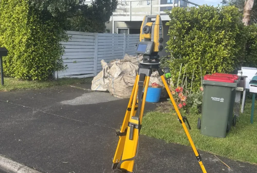
If you are planning a new build, an extension, a subdivision, or any earthworks project in Auckland, you will likely need a topographical survey before design work can begin. This article explains what a topo survey involves, what it produces, and when Auckland Council and your design team will require one.
What a Topographical Survey Captures
A topographical survey produces an accurate, three-dimensional record of a site’s existing conditions. This includes:
- Ground levels and contours across the site
- Existing structures such as buildings, fences, retaining walls, and sheds
- Trees and significant vegetation
- Drainage features including channels, swales, and stormwater outlets
- Services visible at the surface such as manholes, utility covers, and meter boxes
- Site boundaries relative to the surveyed features
The output is typically a DWG or PDF plan showing contour lines at regular intervals, along with spot heights at key features. Your architect, engineer, or designer uses this plan as the base layer for all design work.
When is a Topographical Survey Required in Auckland?
Auckland Council requires a topographical survey as part of most resource consent applications where earthworks, drainage, or building platforms are involved. Your designer will usually specify that one is needed early in the process.
Outside of council requirements, a topo survey is valuable any time you need to understand how a site drains, where level differences will require retaining walls or cut-and-fill, or how existing features will interact with a proposed design.
How Long Does a Topographical Survey Take?
For a typical residential site, fieldwork usually takes half a day or less. Processing and delivering the survey plan typically takes a further 1-2 working days. For larger or more complex sites, allow more time. We will confirm a timeline when you contact us with your site details.
If you need a topographical survey for an Auckland project, contact Precision Site Solutions on 022 477 2341 or use our contact form.